carrickminesLogo

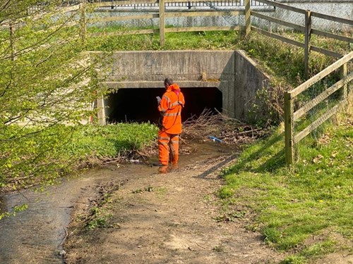
Channel, structure and threshold survey

As part of the preliminary project phase for the Carrickmines Shanganagh River Flood Relief Scheme, DLRCC have appointed Murphy Geospatial to undertake site level surveys at several locations throughout the catchment. The initial level survey will obtain information on finished floor levels of buildings adjacent to the river network, as well as structures and the channel profile at specific locations along the affected watercourses.

The surveys will provide accurate information on the catchment features, such as the geography of the parts of the catchment, dimensions of critical structures and channel sections along the catchment, and ground levels at the edge of selected properties and gardens. The information captured in the surveys will be fundamental for our options design.

The surveyors require access to public and private properties to measure property threshold levels and local features.

All the landowners affected are being contacted by the Project Team to discuss the survey extent within their properties.

Murphy Geospatial site staff have been provided with the necessary training and Personal Protective Equipment to ensure that the survey work can be undertaken complying with all HSE Covid requirements on hygiene and social distancing.